| |
|
|
 |
 |
 |
|
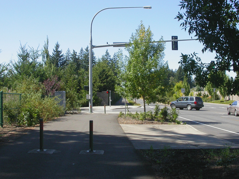
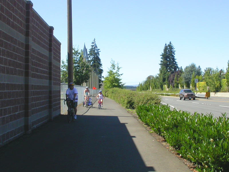
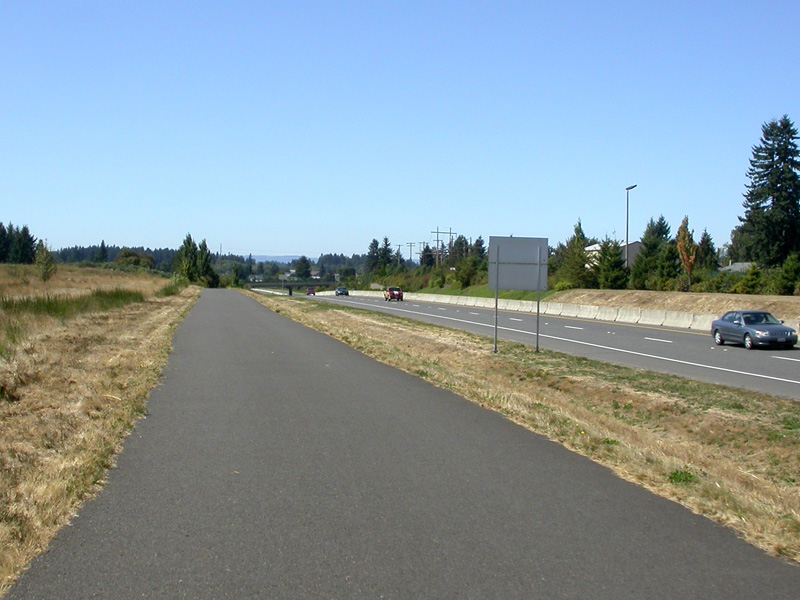
crossing I-205 on 10th |
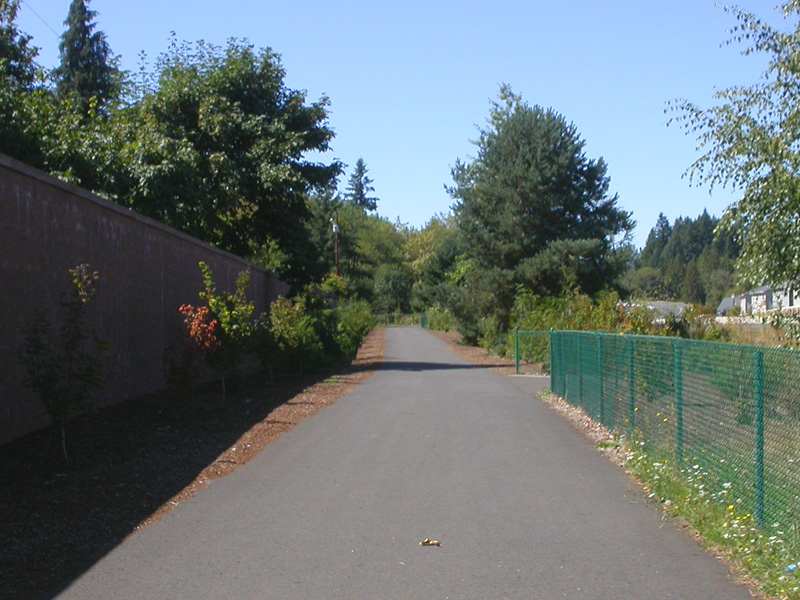
east on McGillivray Blvd. |
east on McGillivray Blvd. |
|
|
|
|
 |
 |
 |
|
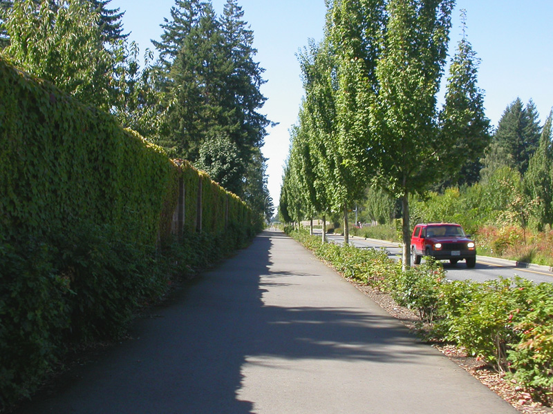
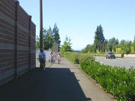
east on McGillivray Blvd. |
east on McGillivray Blvd. |
east on McGillivray Blvd. |
|
|
|
|
 |
 |
 |
|
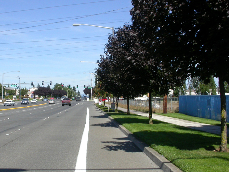
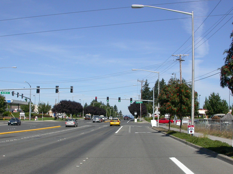
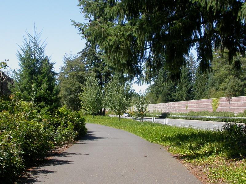
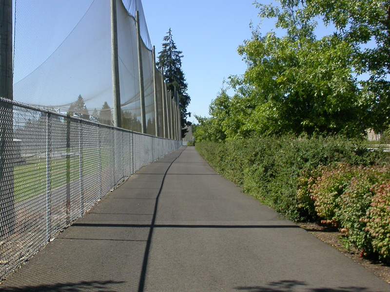
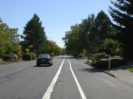
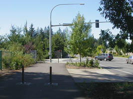
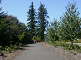
north along 162nd |
north along 162nd |
north along 162nd |
|
|
|
|
 |
 |
 |
|
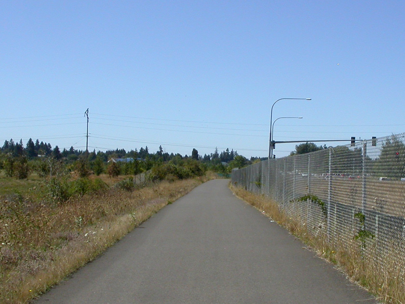
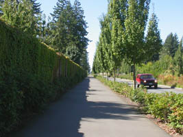
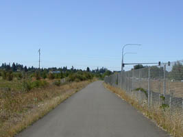
west along Padden Parkway path |
west along Padden Parkway |
west along Padden Parkway |
|
|
|
|
 |
 |
 |
|
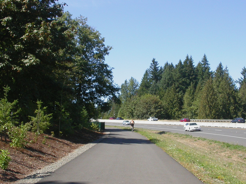
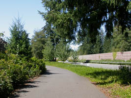
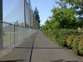
west along Padden Parkway |
west along Padden Parkway |
west along Padden Parkway |
|
|
|
|
 |
 |
 |
|
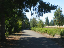
west along Padden Parkway |
west along Padden Parkway |
west along Padden Parkway |
|
|
|
|
 |
 |
 |
|
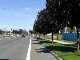
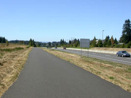
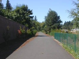
west along Padden Parkway |
west along Padden Parkway |
west along Padden Parkway |
|
|
|
|
 |
 |
 |
|
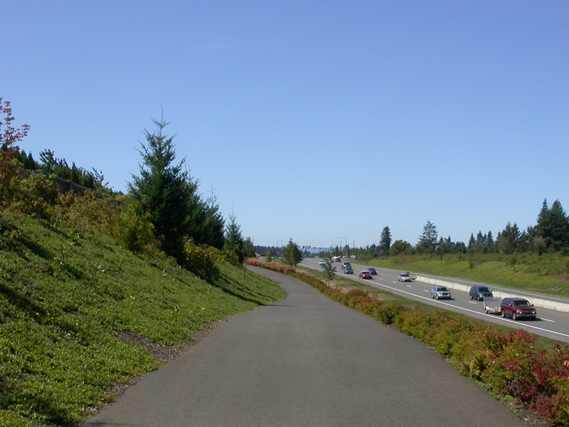
west along Padden Parkway |
west along Padden Parkway |
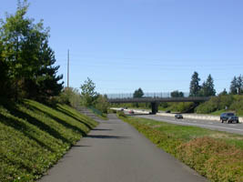
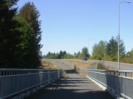
approaching I-205 |
|
|
|
|
 |
 |
 |
|
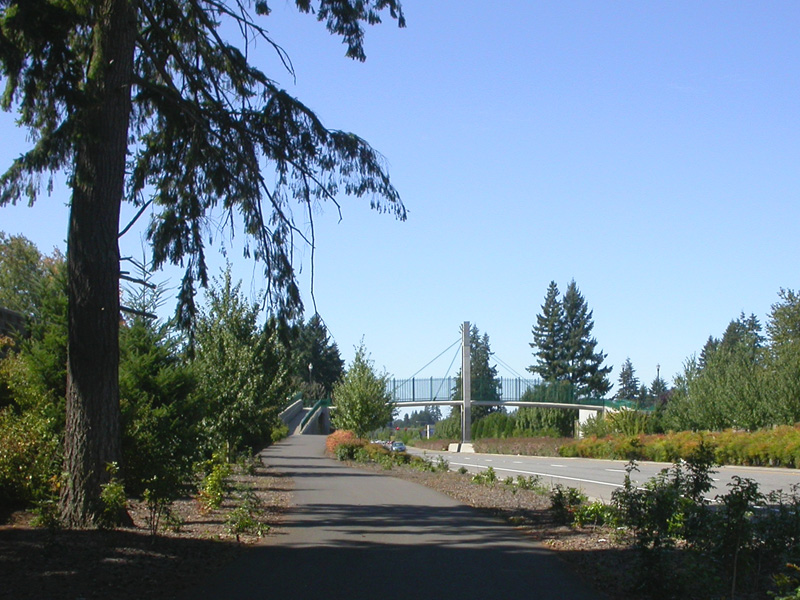
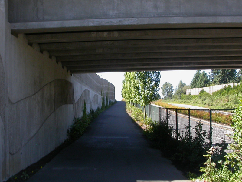
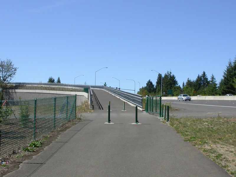
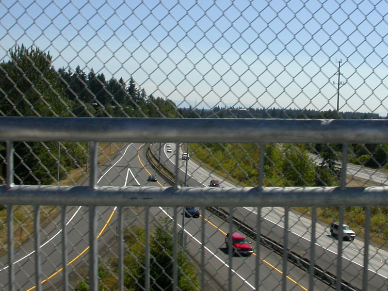
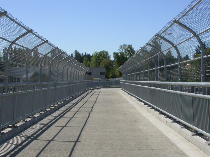
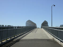
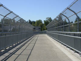
up the steep pedestrian / bike bridge |
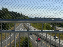
looking down on I-205 |
down the ramp |
|
|
|
|
 |
 |
 |
|
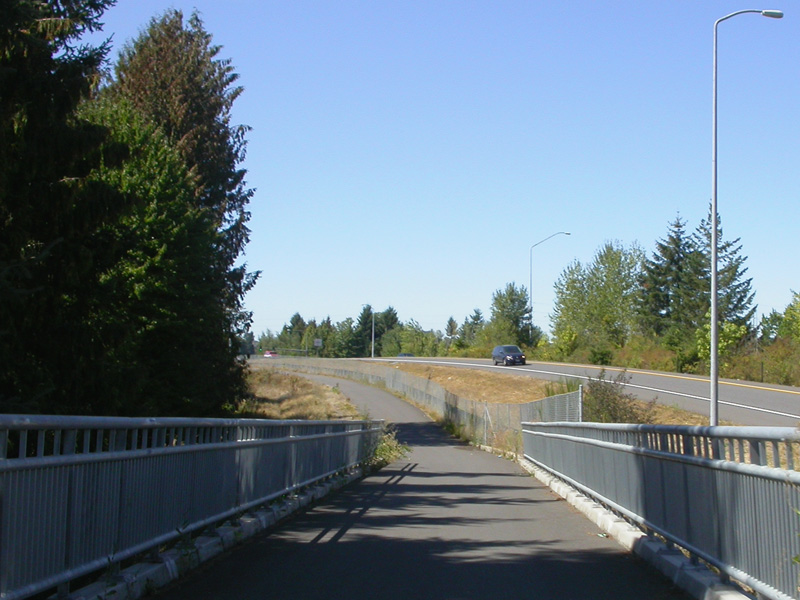
down the ramp |
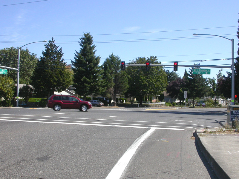
nearing the intersection of Padden & Andresen |
path ends at 78th |
| |
|
|

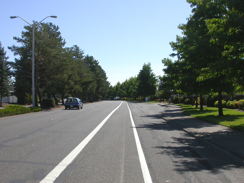
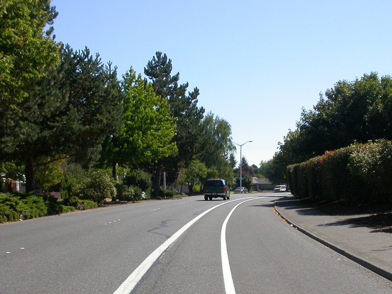
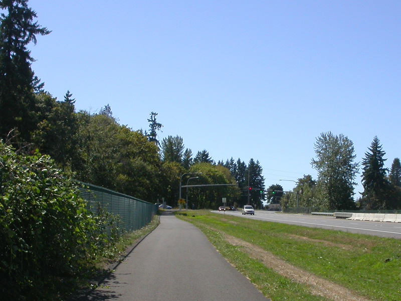
This is very nice bike path, both in design and
maintenance! Most of Padden has a planted
center median in the roadway. There is a
second planted median of sorts between the
traffic lanes and the bike path. The
pavement is of good quality, both wide and
smooth. The intersections are either
underpasses or good crosswalks. One
challenge is the overpass over I-205. It
is rather high and steep, so hit your low gear
and keep cranking! In our opinion, this
pathway is a good model of how to design and
construct a good bike path!
Now a word on getting there. We cross the
river on Interstate 205 and work our way up onto
the plateau at 10th. We have a "pdf"
version of our connection route between I-205,
the top of the hill, and the Burnt Bridge
Greenway
here.
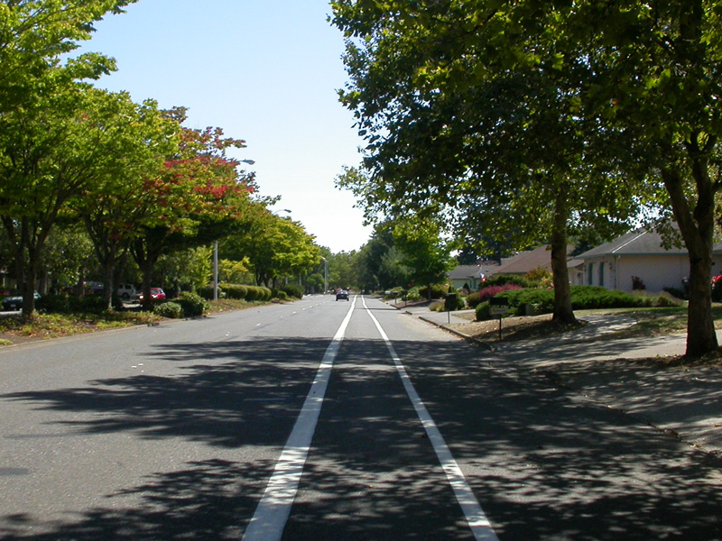
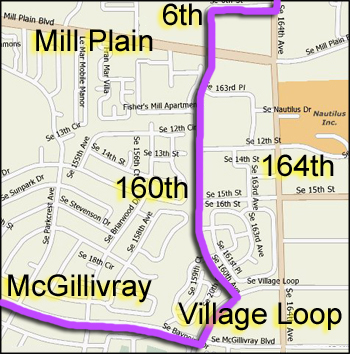
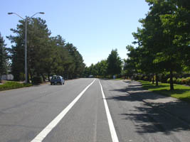
We head east on 10th which becomes McGillivray
after you cross over I-205. This street is
really great for riding! It is pretty with
a nice planted center divider, low traffic
volume, well marked bike lane, and a speed limit
is only 25mph. We suggest turning north
through back streets before you get to 164th
since that street doesn't have bike lanes south
of Mill Plain (see left map below). Once
you hit 164th (which shortly turns and becomes
162nd) it will take you nearly all the way to
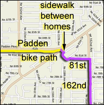
the Padden Parkway path. We found that if
you turn left on 81st you can cut through a
neighborhood and end up right at the beginning
of the bike path (see right map below).
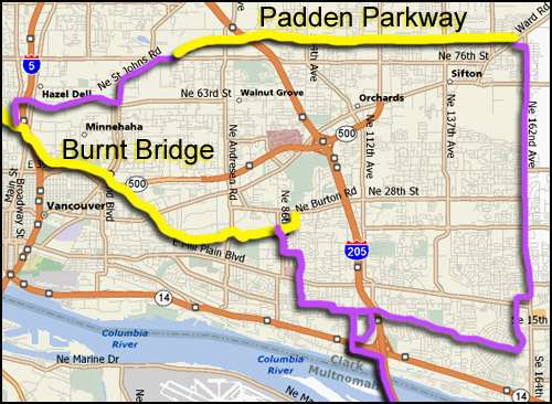
At the west end of the Padden Parkway trial we
took 78th west; then St. Johns Road south; then
63rd west; then Hazel Dell south. From
Hazel Dell we connected up with the
Burnt Bridge Creek
Greenway and took it back east. We
then took our route mentioned earlier (map
here)
to get us back up the hill crossing Mill Plain
and back down over Highway 14 and on to I-205.
Naturally if you are making this a local ride in
the Vancouver area, you can just eliminate going
up and down the hill south of 10th and make a
great circular route of about 30 miles.
Unless of course you really like hills, then you
can ride down to Highway 14 and back up again
just for fun! :)
|
|
| |
|
|
|
|