| |
| Burnt Bridge Creek Greenway |
| |
 |
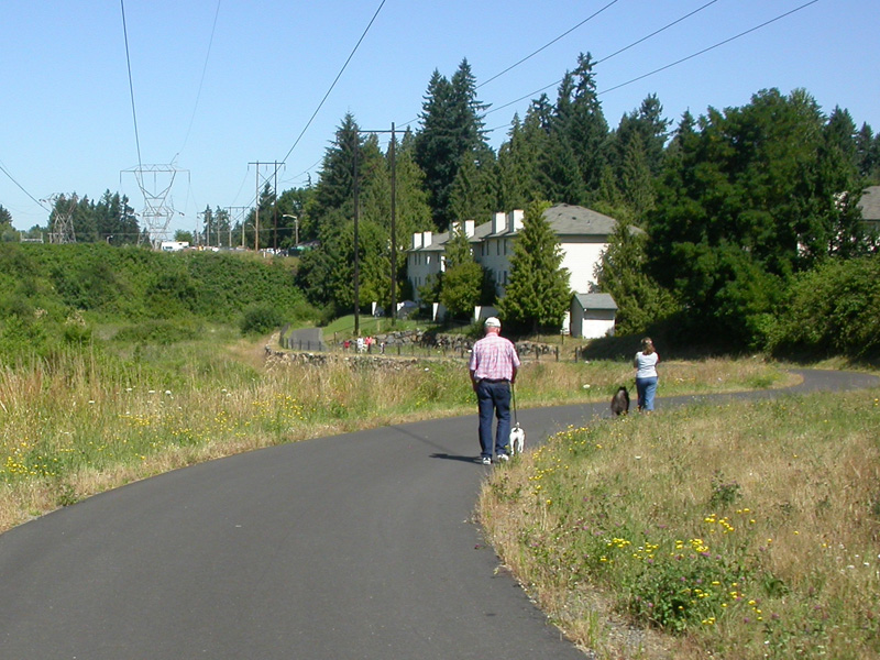
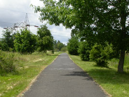
We Have ridden this
route several times and enjoy it very much.
There is a real diversity of terrain and scenery as you
move along the trial. Some sections are flat and
open, while others wind up, down, and around through
parks with large Douglas Fir trees.
"Burnt Bridge Creek Greenway" is part of the "Discovery
Trail" system in the Vancouver area. |
|
 |
 |
 |
|
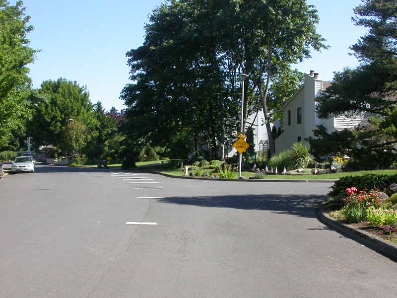
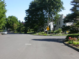
through the neighborhoods |
crossing Mill Plain |
more neighborhoods |
|
|
|
|
 |
 |
 |
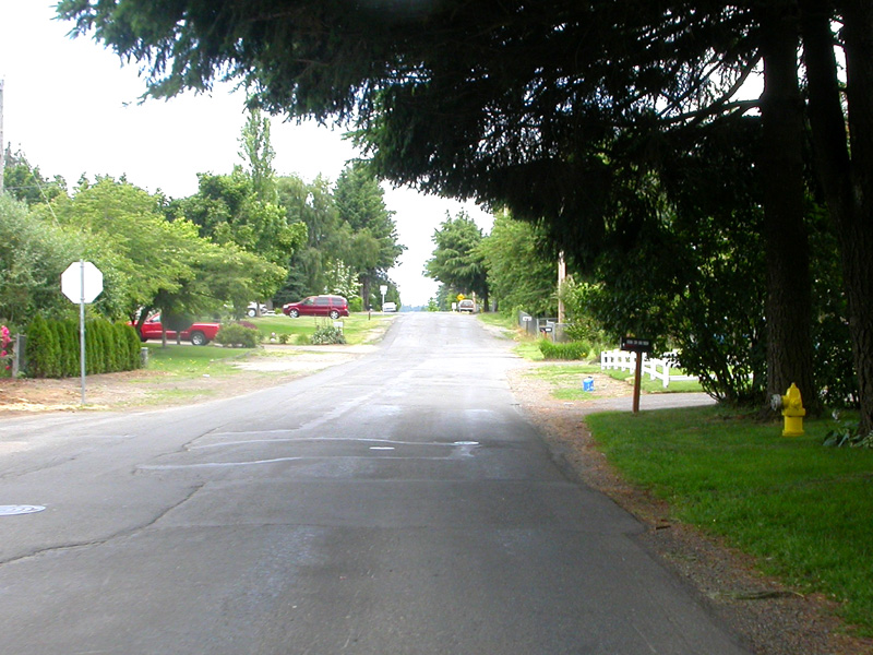
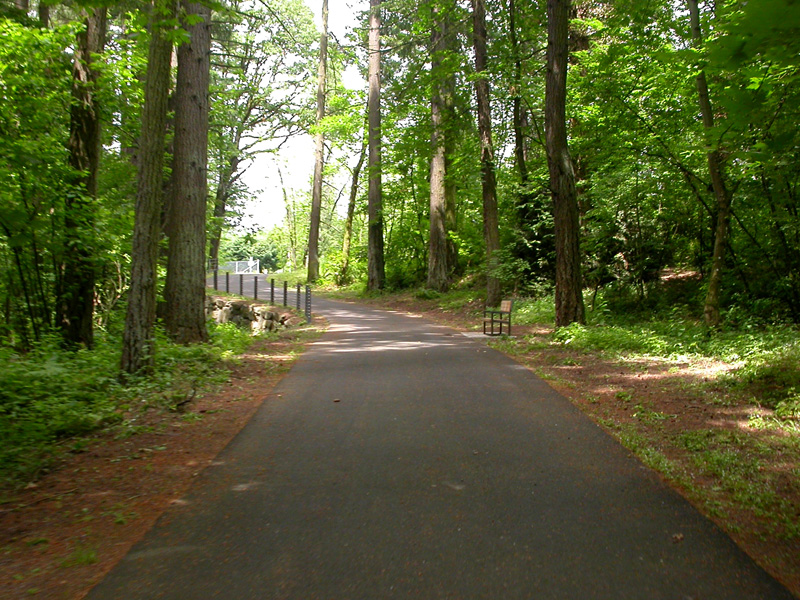
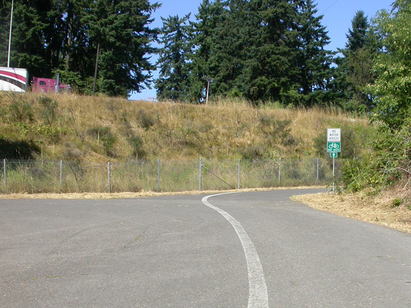
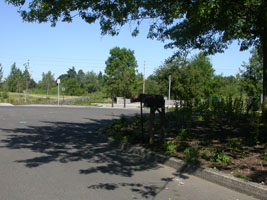
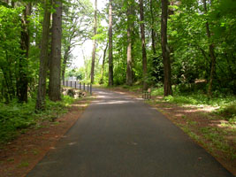
| the trail head at 19th court |
on the trial |
under 86th |
| |
|
|
 |
 |
 |
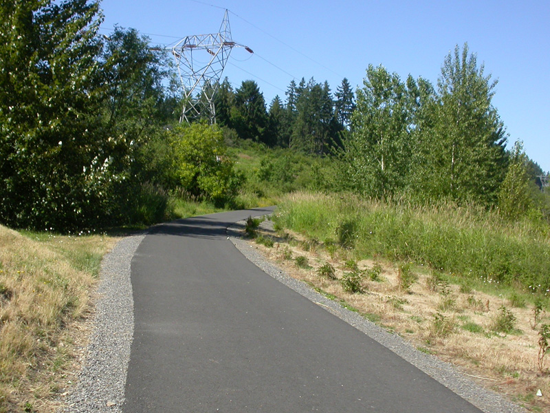
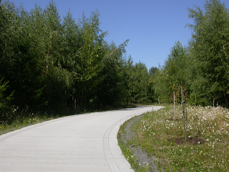
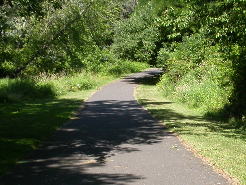
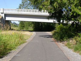
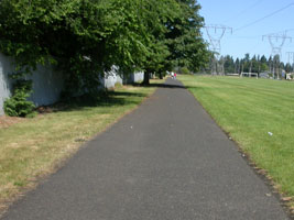
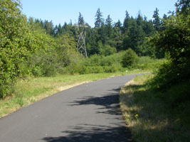
| heading west |
nice new concrete path |
"rest stop" at Devine Road |
| |
|
|
 |
 |
 |
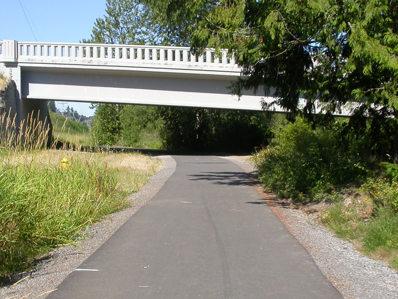
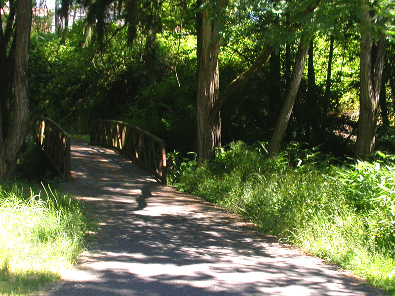
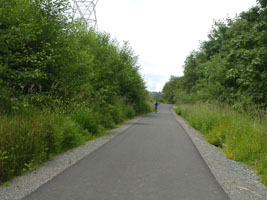
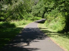
| Devine Road crossing |
older section of trial |
old bridge |
| |
|
|
 |
 |
 |
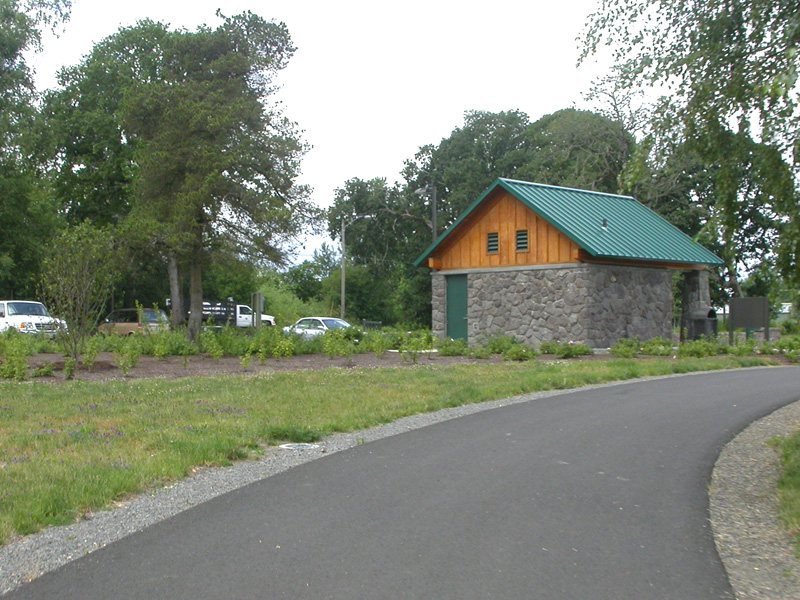
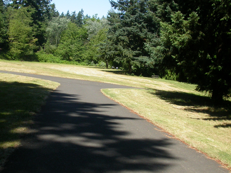
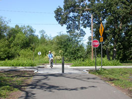
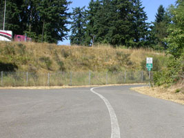
| Meadow Homes Park - sports fields |
west of Falk Road |
Burnt Bridge Creek Park |
| |
|
|
 |
 |
 |
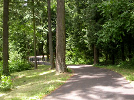
| Burnt Bridge Creek Park |
Burnt Bridge Creek Park |
Burnt Bridge Creek Park |
| |
|
|
 |
 |
 |
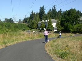
| around St. Johns Road |
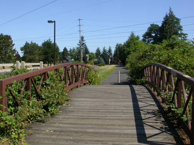
Leverich Park |
Leverich Park |
| |
|
|
 |
 |
 |
| Leverich Park |
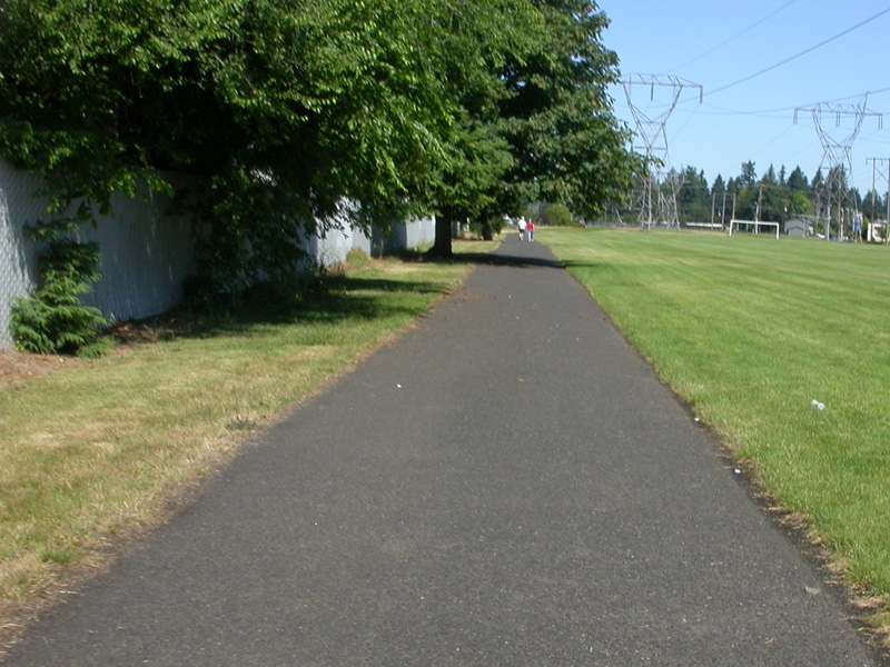
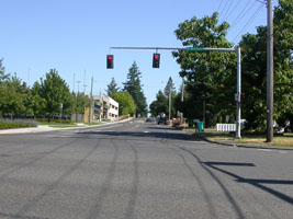
approaching Interstate 5 |
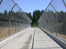
crossing Interstate 5 |
| |
|
|
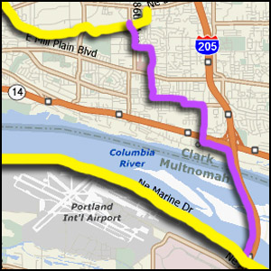 |
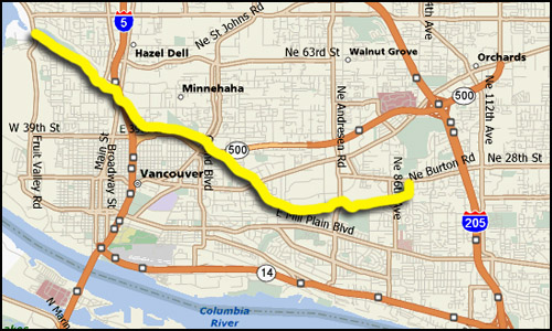
When we ride from the Oregon side of the
river, we take the bike path on the I-205
Bridge, then travel on surface streets to
connect with the east end of the Burnt Bridge Creek Greenway.
Before we took this route the first time, we did
a lot of investigation to try to find the best
possible way. We studied street maps, bike maps,
and then drove around to see which route
actually seemed to be the best to us. Now,
after having ridden it on our bike a few times,
we have fine tuned it. We
put our choice on a printable "pdf" map
here. |
|
| |
|
|

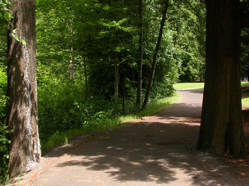
This is a very nice ride! Portions of
this route are quite new with a nice wide
concrete pathway. Other portions are older
with nice smooth asphalt. There are only a
few short sections which are rough, with some
undermining by tree roots. There are only
a few places where you must cross major streets
and at each of those you have marked crosswalks
and most have crossing signals. Most of
this route is constructed on a utility
right-of-way for major electric transmission
lines. The eastern half (east of the
intersection of Falk Road and 4th Plain Blvd) is
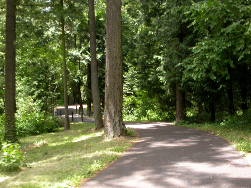
mostly flat with open spaces. The western half
has more terrain with some ups and downs as you
wind through beautiful parks. There are a
couple places where we were a bit confused the
first time we took this route. We weren't
sure which way to go, and we didn't see any
signs. Check these out ahead of time on a
map and you shouldn't have any trouble.
Those places are: the crossing around the
intersection of Hwy 500 and St. John's Road; the
intersection of 41st Circle and 15th Ave;
between Leverich Park and I-5; and the crossing
of Hazel Dell Ave. Oh, one tip... in
Leverich Park there are several paths, take the
northern most route. Enjoy!
As our riding style and comfort level with
riding in bike lanes on the street increased, we
have actually taken this path less.
Although Burnt Bridge is very beautiful, if you
are just looking for a transportation route east
to west through Vancouver, we have found the
streets easier and faster. Some of the
tight corners and steep short hills on the
western portion of the trail are hard to
negotiate on our bike. The last few times
we have had to cross through Vancouver we have
elected to use surface streets. But for a
quiet, enjoyable bike ride, this is a nice
route.
|
|
|
|