| |
|
 |
|
|
The Interstate 205 Bike Path
parallels Interstate 205 from the Washington
side of the Columbia River, across the Glenn
Jackson Bridge, and on south to Clackamas
(yellow on map). There is one portion that
does continue on farther south, but there
is a major gap near the Highway 212 / 224 exit
off of I-205 in Clackamas (lower part of map).
This bike path is a major north / south bike
route on the east side of Portland. This
path also connects with two of the major east /
west routes: The
Marine Drive Bike Route (purple) and
The Springwater Trail
Corridor (green).
Much of the southern half of this path was
out of commission for the last couple years
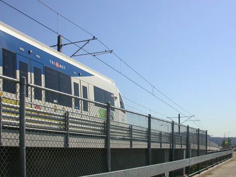
because of construction on the new MAX Lightrail line alongside of Interstate 205.
The entire length of the path was finally
re-opened in November of 2009.
|
 |
|
|
|
|
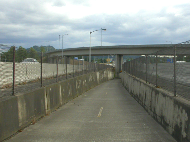
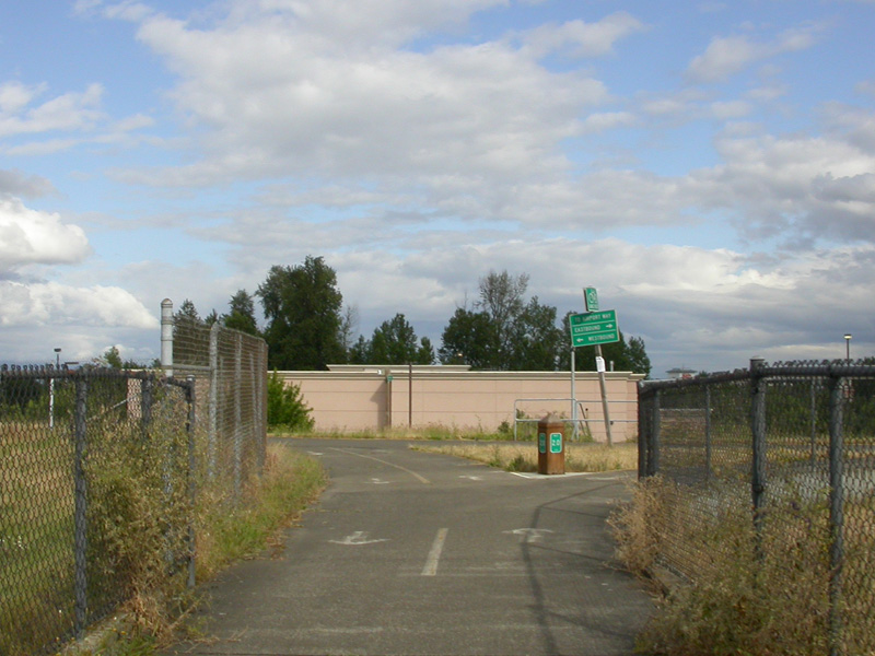
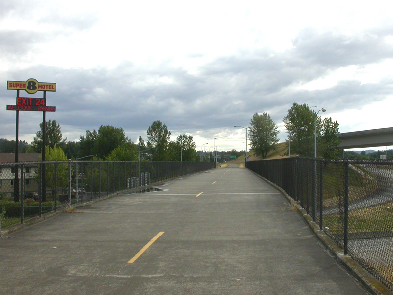
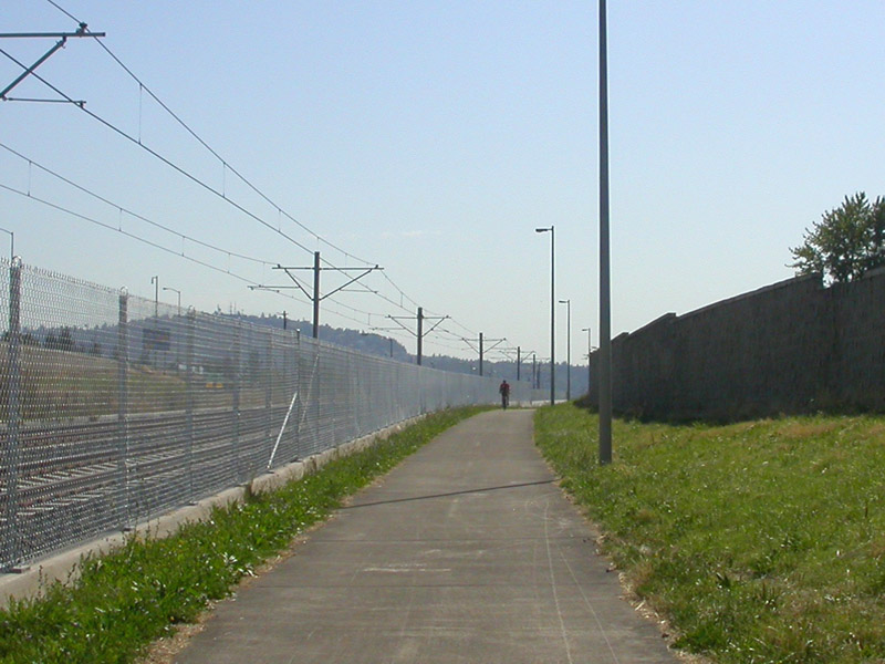
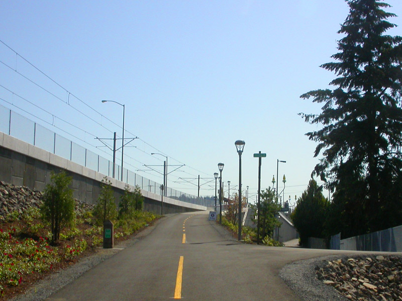
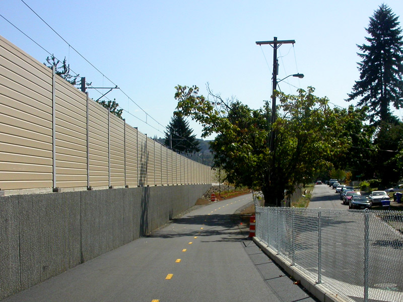
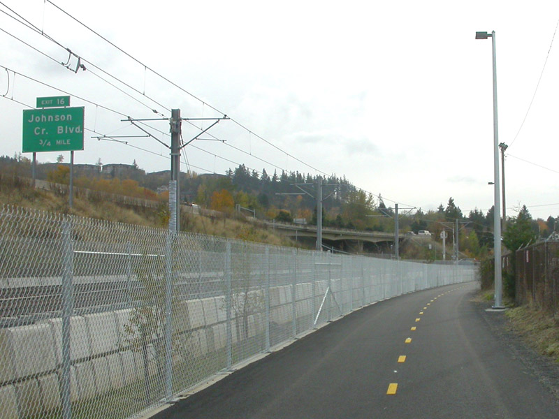
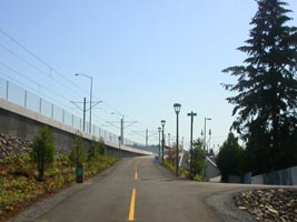
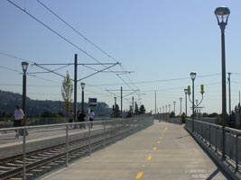
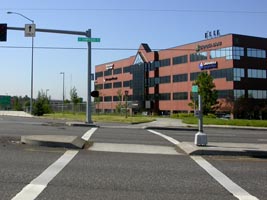
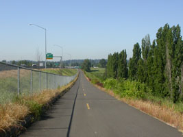
| The pictures below
are in order from north to south on a southbound ride
(you can tell by the clouds that they were not all taken
the same day). |
| |
|
 |
 |
 |
|
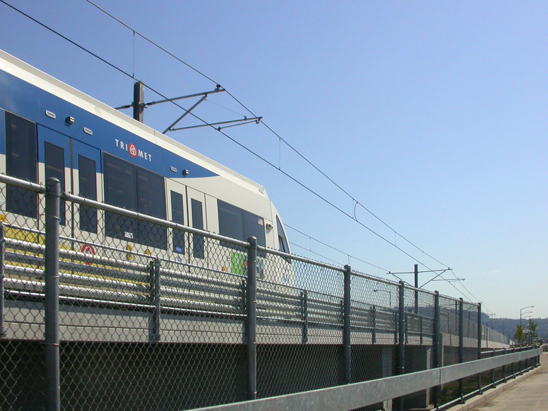
next to Highway 14 near I-205 |
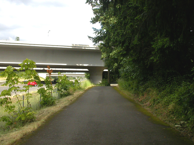
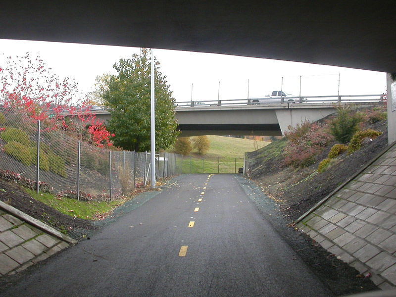
under I-205 bridge |
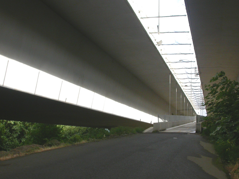
looking up at the bike path entrance |
|
|
|
|
 |
 |
 |
|
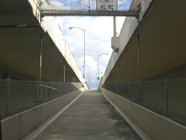
up the ramp to bridge |
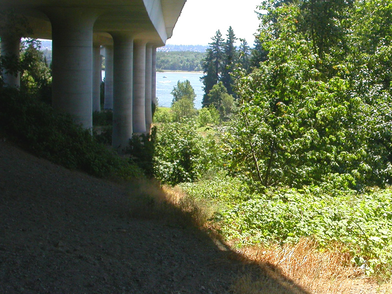
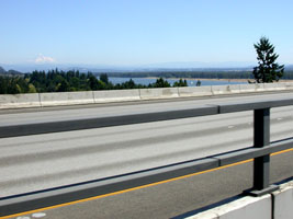
amazingly beautiful view! |
starting downhill |
|
|
|
|
 |
 |
 |
|
on major northern span |
crossing southern span |
down the ramp by Airport Way |
|
|
|
|
 |
 |
 |
|
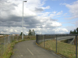
Airport Way & I-205 |
left to Marine Drive - right to I-205 south |
south over Airport Way |
|
|
|
|
 |
 |
 |
| heading uphill from Sandy Blvd |
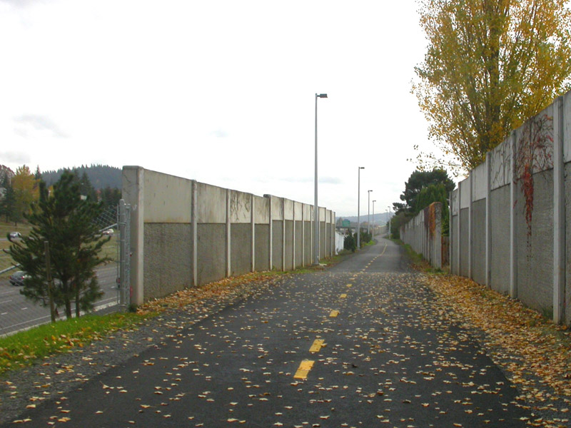
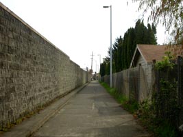
Maywood Park |
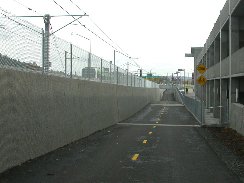
uphill toward Gateway by MAX tracks |
| |
|
|
 |
 |
 |
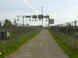
| approaching Glisan |
between Burnside &
Stark |
south of Market |
| |
|
|
 |
 |
 |
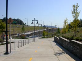
| Division MAX
station |
between Division &
Powell |
Powell MAX station |
| |
|
|
 |
 |
 |
| crossing at
Holgate |
south of Holgate |
up ramp to Foster
MAX station |
| |
|
|
 |
 |
 |
| MAX station
& bike overpass |
down hill from
Foster overpass |
south of
Springwater Trail |
| |
|
|
 |
 |
 |
| interchange at
Johnson Creek Blvd. |
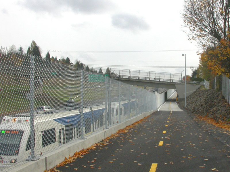
passing MAX train |
along I-205 |
| |
|
|
 |
 |
 |
| approaching
Clackamas Towncenter |
Towncenter MAX
station |
crossing
Sunnyside |
| |
|
|
 |
 |
 |
| crossing
Sunnybrook |
between
Sunnybrook & 82nd Dr. |
down hill toward
82nd |
| |
|
|

We used to spend lots of time on this route. Two days a
week we worked in the same building in Clackamas and
weather permitting we rode to work. Unfortunately
that ride got more and more challenging as sections of the path that we needed were
closed for construction on the MAX Lightrail line.
Years later when the entire path we finally re-opened,
our work schedules had changed.
In general, the new sections are great. The best and most notable
improvement is an overpass that takes riders up and over
the busy streets of Foster and Woodstock alongside the
MAX tracks. These were always challenging intersections.
This really was a fantastic idea, making things much
safer for riders. There is still one very poor
section (red on the map at the top of the page). The
designers really blew it here. They had the chance
to fix this bad spot during the MAX construction, but
didn't. This section is south of Springwater Trail
and north of where I-205 crosses over 92nd. The
route winds the riders seemingly in circles and down
sidewalks. It's probably fine if you are walking
your dog, or taking your little kid for a ride, but for
the serious cyclist... skip this section. Here is
our "detour." If you are heading south on the
I-205 path, turn right (west) on the Springwater Trail.
Then turn left (south) on 92nd and ride in the bike lane
on the street. As you get to where I-205 crosses
over 92nd, turn right (west) on Crystal Springs, then
left onto the bike path to continue south.
Aside from the new construction, here are some of our
comments on the I-205 route...
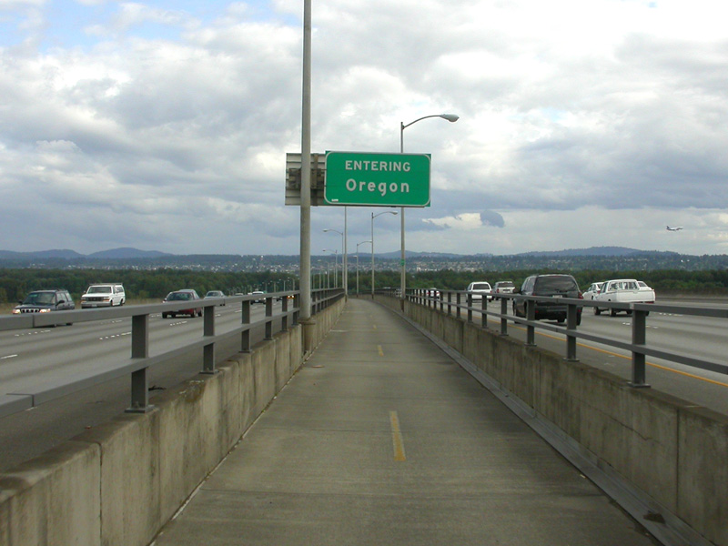
The I-205 bridge is really fun. I must admit, it
had us psyched out before we rode it the first time.
It looks so imposing, this massive concrete structure
with a mile long hill. Actually, we didn't even
need to get into our lowest gears. Yes it is long,
but not as steep as many other hills we ride on a weekly
basis. We had ridden the section from Marine
Drive south to Gateway several times prior to attempting
the bridge. As it turned out, that section is much
harder than riding the bridge. I had always
thought that you could really get flying coming down the
bridge hill southbound. Actually that is not the
case. There are joints in the concrete sections of
the path that make the ride increasingly rougher the
faster you go. I start riding the brakes at
about 25mph. The bridge really
is a thrill, but it's pretty noisy with 4 lanes of
freeway on each side of you. As far as the rest of the bike
path is concerned, it is generally pretty good.
There are a fair number of intersections that require
close attention. For first time riders it can be
challenging to figure out where you are suppose to go.
The path is not always well marked when it crosses
streets and jumps on sections of sidewalk here and
there. The quality of the pavement
generally
good, actually the worst sections were torn up and
replaced during
the Lightrail construction. The prettiest portion
is where the path takes you through the neighborhood of
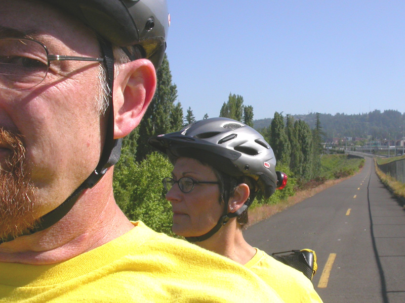
Maywood Park. The picture above on this page
doesn't do it justice.
|
|
|
|