|
|
|
|
 |
 |
 |
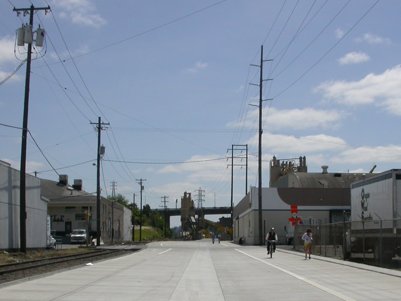
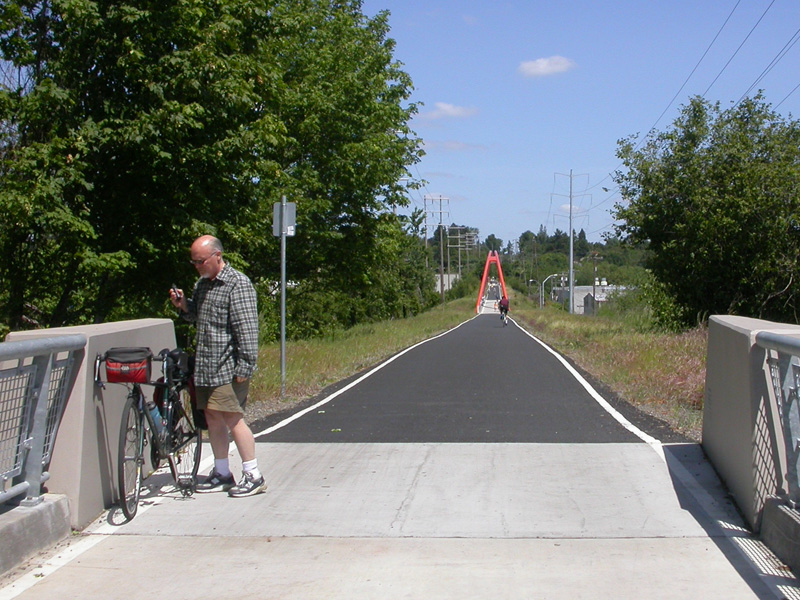
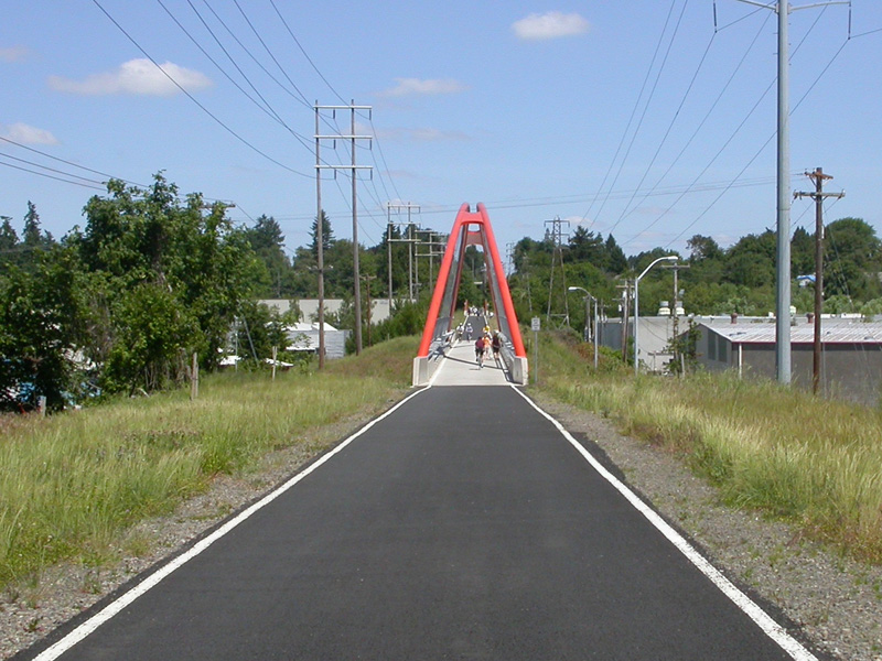
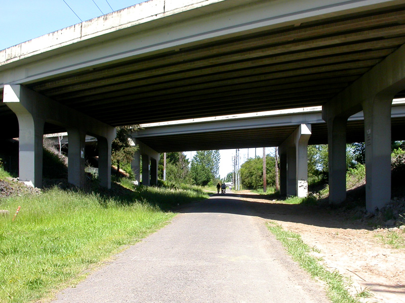
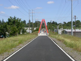
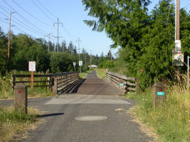
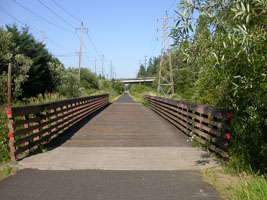
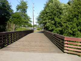
| "Three
Bridges" |
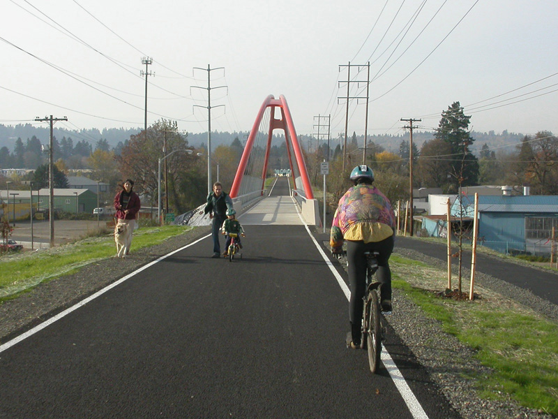
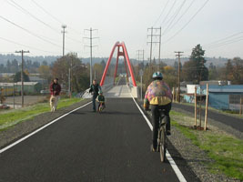
"Three
Bridges" |
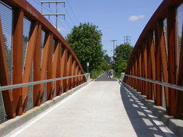
"Three
Bridges" |
| |
|
|
 |
 |
 |
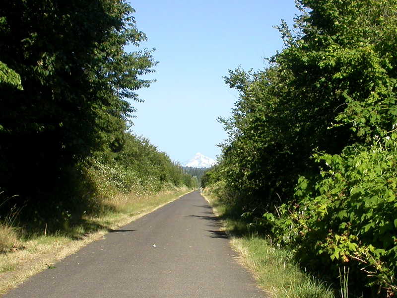
| "Three
Bridges" |
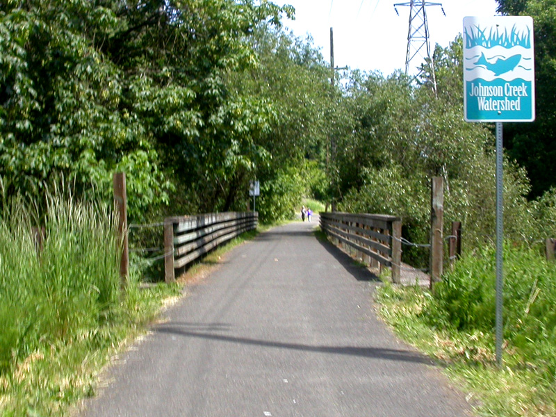
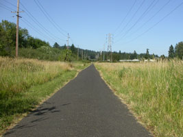
around
36th |
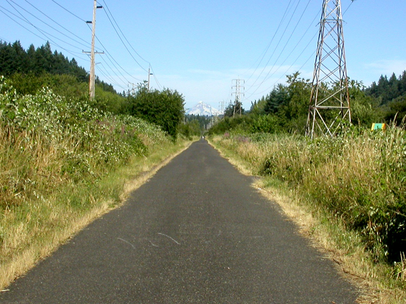
near 45th |
| |
|
|
 |
 |
 |
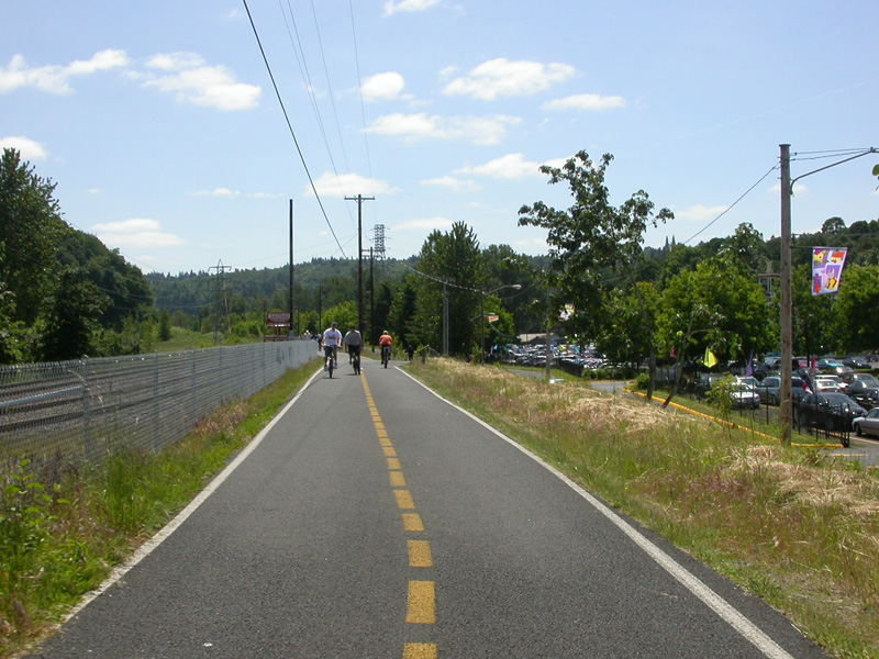
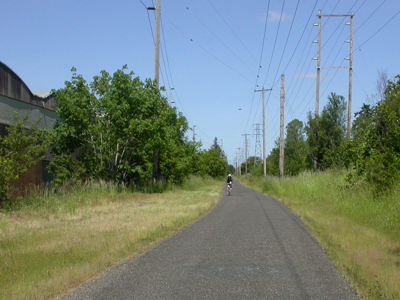
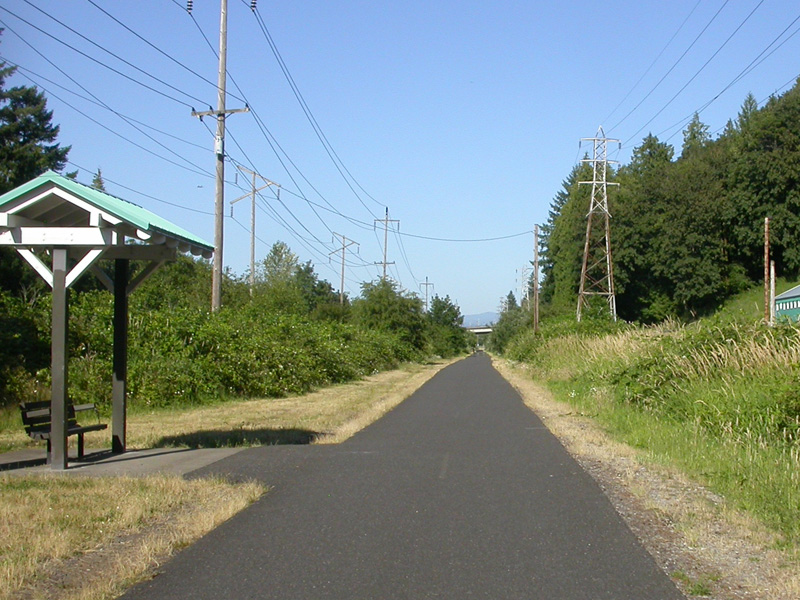
| around
55th |
east of
Bell Road |
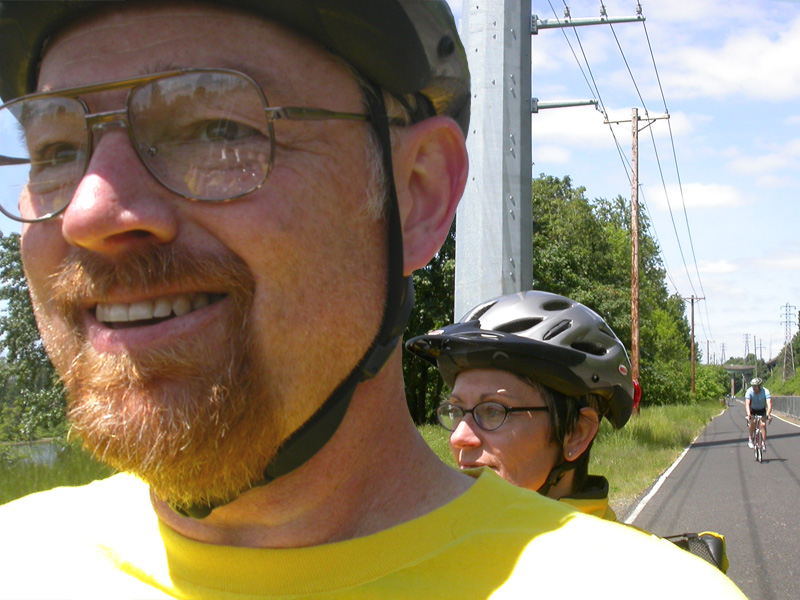
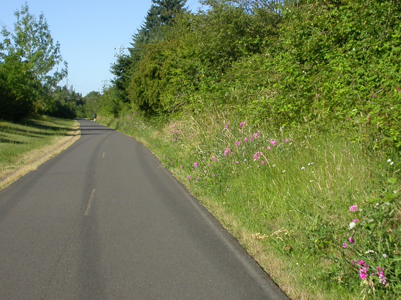
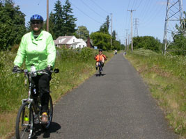
occasionally we see another recumbent |
| |
|
|
 |
 |
 |
|
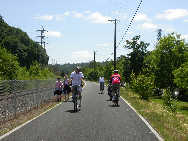
somewhere
around 75th |
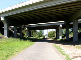
under
Interstate 205 |
between
Foster and 122nd |
| |
|
|
 |
 |
 |
| east of
136th |
east of
136th |
just west
of 174th |
| |
|
|
 |
 |
 |
| east of
174th |
approaching the overpass for 182nd |
east of
Towle |
| |
|
|
 |
 |
 |
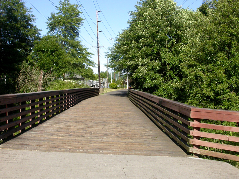
| nearing
Gresham's Main City Park |
Little
League ball field in the park |
left off the trial and through the park |
| |
|
|
 |
 |
 |
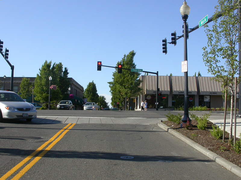
| Downtown Gresham at Main & Powell |
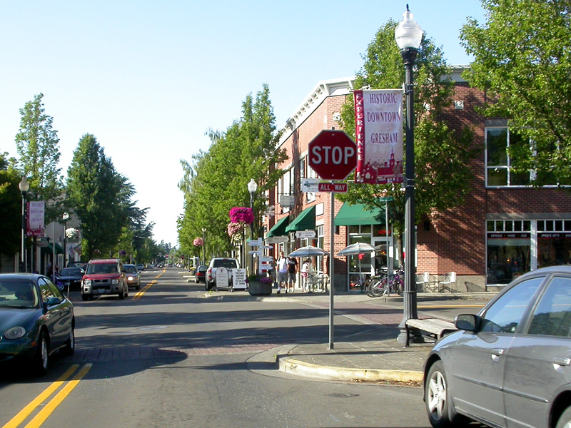
Stop by our
favorite coffee shop - corner of 3rd & Main
in Downtown Gresham |
| |
|
|
Okay, I know that
Springwater trail doesn't end there. It continues
east for a couple more miles before turning into gravel.
Eventually it will be paved out to Boring. For
now, the main use of the eastern section
is for local walkers and bikers. For longer
distance riders, the Springwater Trial serves as a the
major connector to link Downtown Gresham with other
parts of the Portland Metro Area.
To connect several of
the rides we show on this website into a long
circular route, you can follow this map to get
from the Springwater trial down to the Marine
Drive bike path. You can also get a
printable "pdf"
here
showing how we linked up these trials into a
nice ride of around 55 miles.
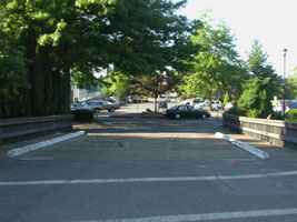
From Gresham's Main City Park, head north on
Main Street through Old Downtown Gresham.
Turn right on Division and proceed east to Kane
(also called 257th). Turn left, and head
north. This will take you down a big hill
and past the Troutdale Outlet Mall. Go
under I-84 and turn left just under the overpass
(both lanes turn left). This puts you on
the frontage road between the freeway and the
Troutdale Airport. Follow the signs,
taking a gradual right on Marine Drive.
(See our Marine Drive
page) |
 |
|
| |
|
|

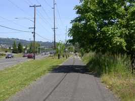
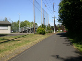
The Springwater Trail is a key part of
the bicycle path system in the Portland Metro
area. Nearly all of our rides include at
least a portion of this path. We are
fortunate to live only two miles from the trail.
We catch it in Downtown Gresham and then use it to
connect us up with a number of other routes.
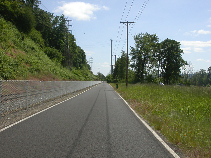
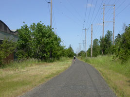
Springwater is very easy to ride. Since
this right-of-way was originally created for a
railway it is very flat, any inclines are
very gradual. The only down side
to this bike route used to be that the asphalt
was poor on
many segments. Fortunately that all
changes during the summer of 2010 with a
repaving project! Now the entire route is
very nice. The trial is
paved east past Gresham to 267th at Telford
Road. From there the trail is gravel into
Boring. The old railroad right-of-way
continues all the way out to Estacada. The
long term plan is to eventually extend the paved
bike and pedestrian pathway along that entire route.
|
|