|
This beautiful bike path stretches 32 miles from the Old Historic
part of Sacramento, eastward to Folsom Lake (route shown
in yellow on the map above). Also known as the Jedediah Smith National Recreation Trail, the American
River Bike Path is almost totally separate from vehicle
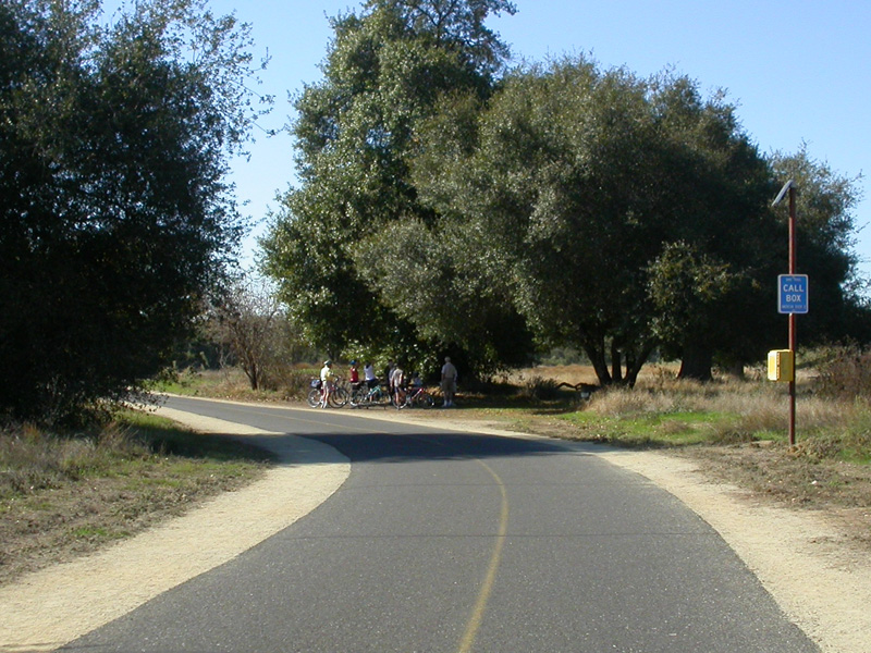
traffic. The trail is very well maintained and
even has emergency call boxes every mile or so!
(detailed map here)
Although the yellow pathway is technically the American
River Bike Path, many locals from Folsom regularly ride,
and refer to the loop around the Lake as the Lake Natoma
Bike Path (purple). On this website, we are
treating the two separately. For more on that ride
check out our Lake Natoma Page.
On our ride, we joined the American River Trail at
milepost 23 (green arrow above) and road west to "Old
Sac" and then back. The only section we didn't
ride, was the northeastern three miles. From what
we hear, it is basically a 3 mile hill to Folsom Lake.
(see also: Folsom City Paths) |
| |
|
|
 |
 |
 |
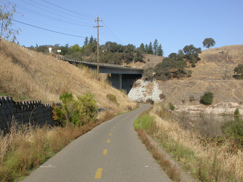
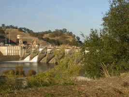
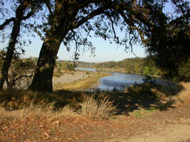
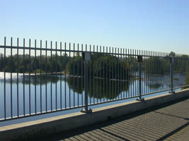
| Hazel Ave bridge at the Nimbus Dam that forms Lake Natoma |
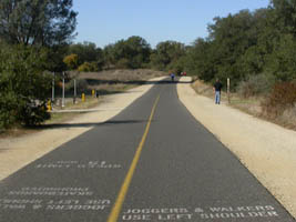
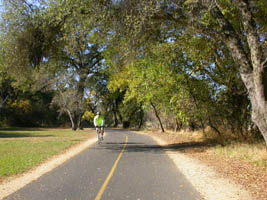
bike on
pavement, walkers use shoulder! |
| |
|
|
 |
 |
 |
|
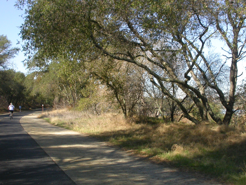
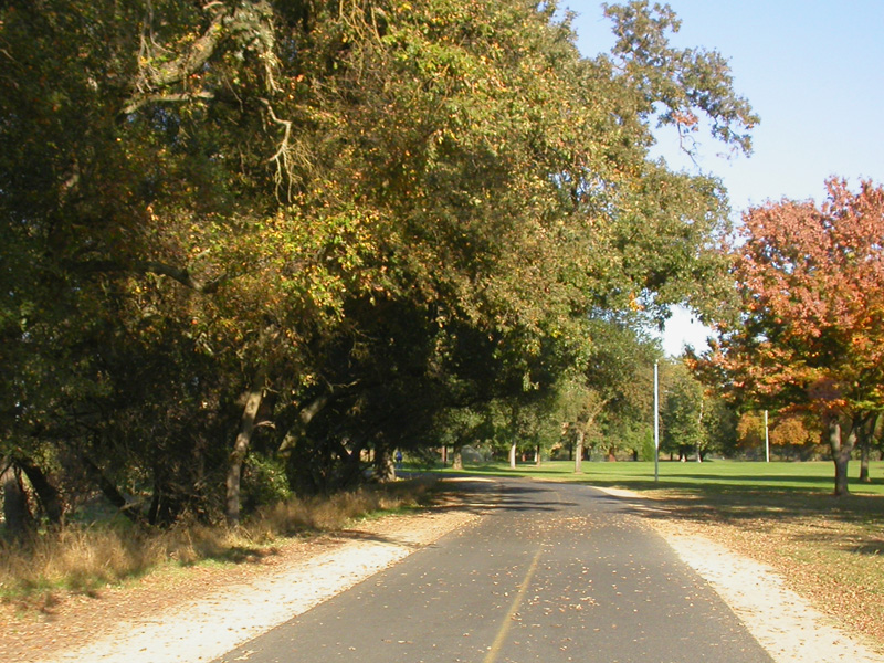
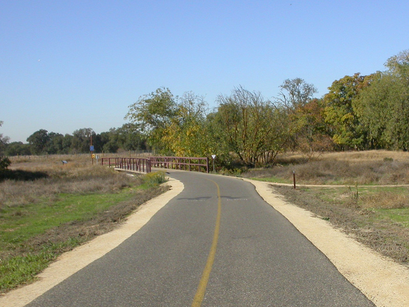
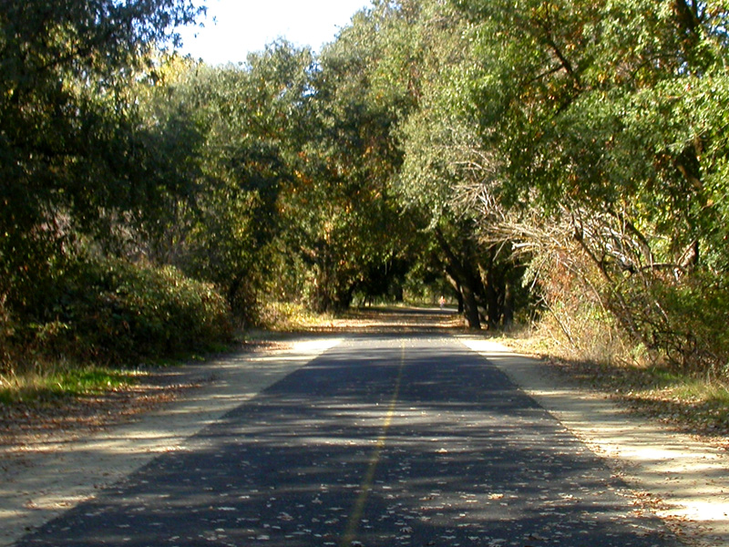
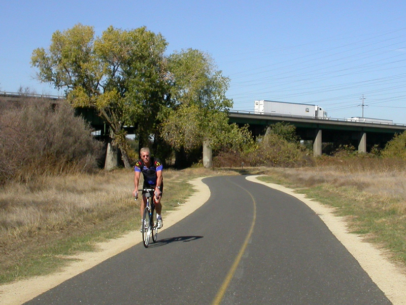
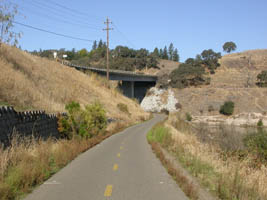
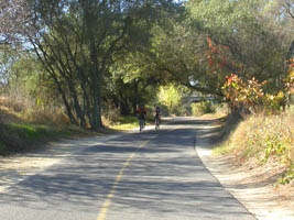
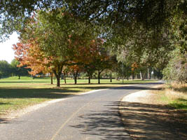
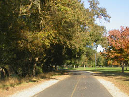
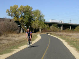
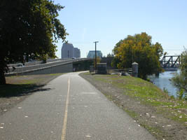
nice wide quality paved pathways |
|
|
| |
|
|
 |
 |
 |
| |
|
|
| |
|
|
 |
 |
 |
|
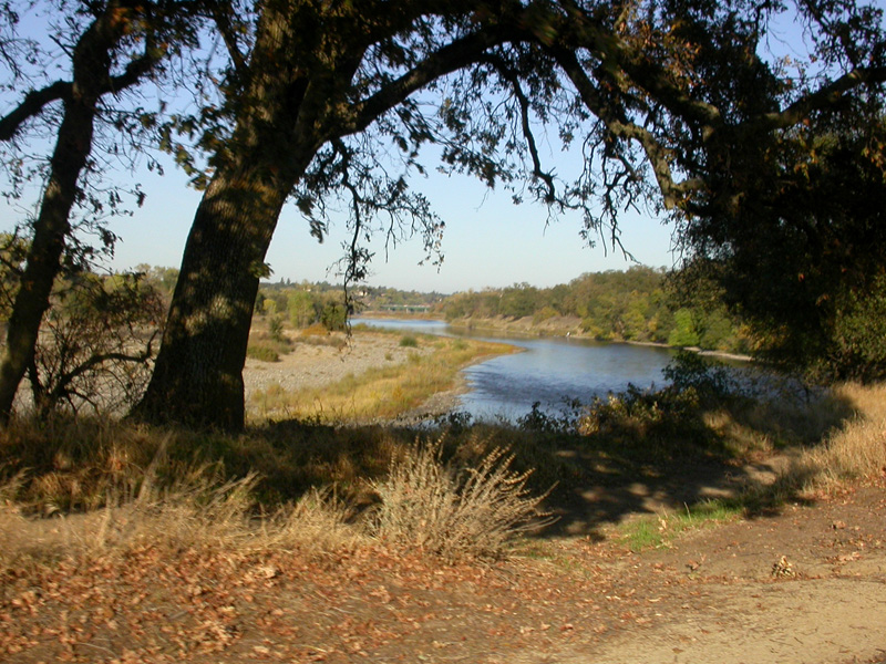
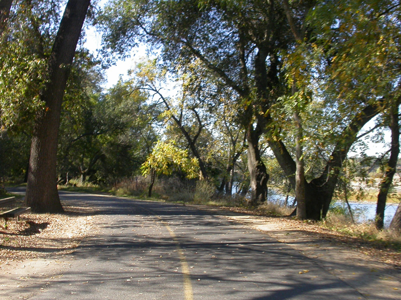
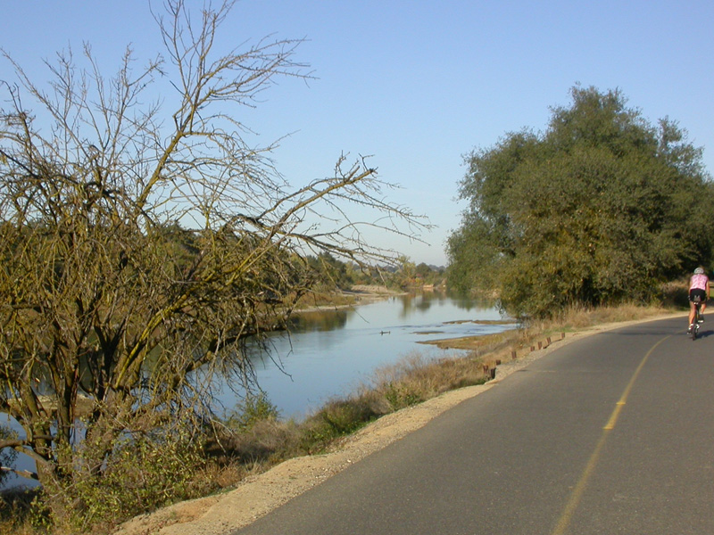
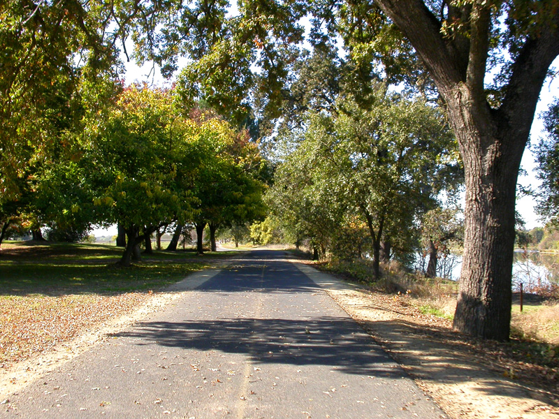
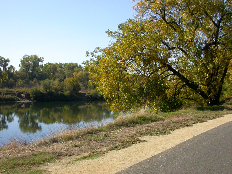
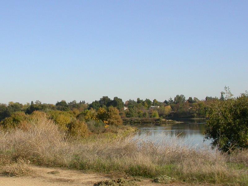
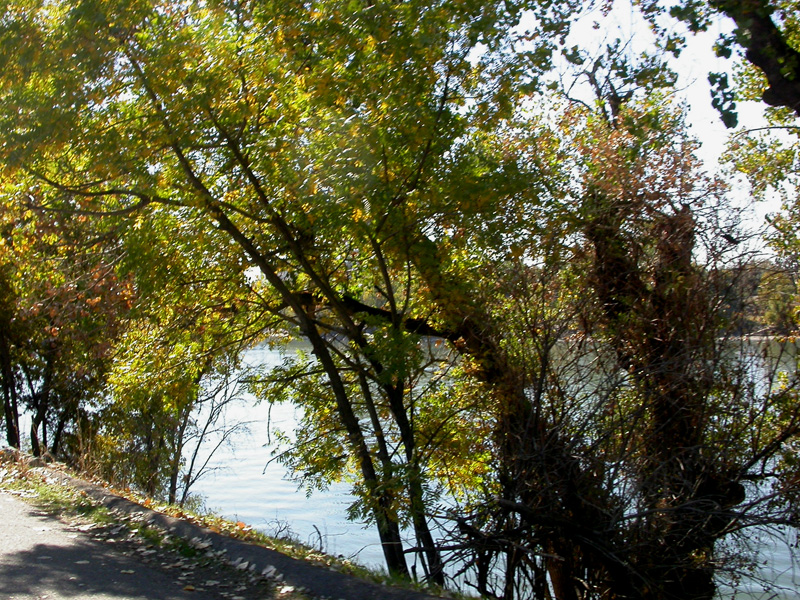
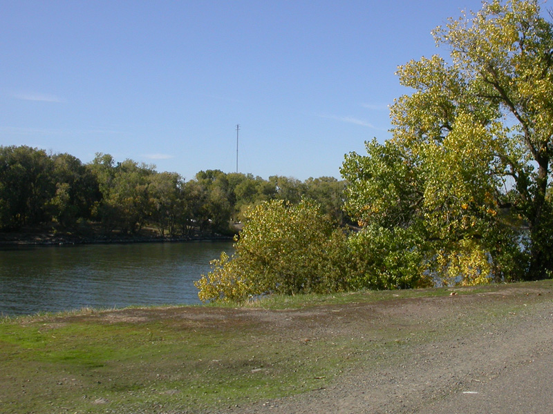
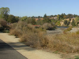
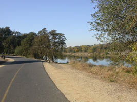
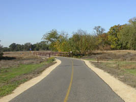
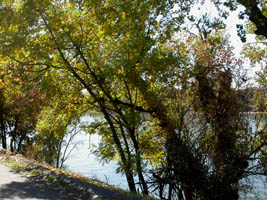
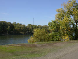
much of the trial runs right along the banks of the
American River |
| |
|
|
 |
 |
 |
|
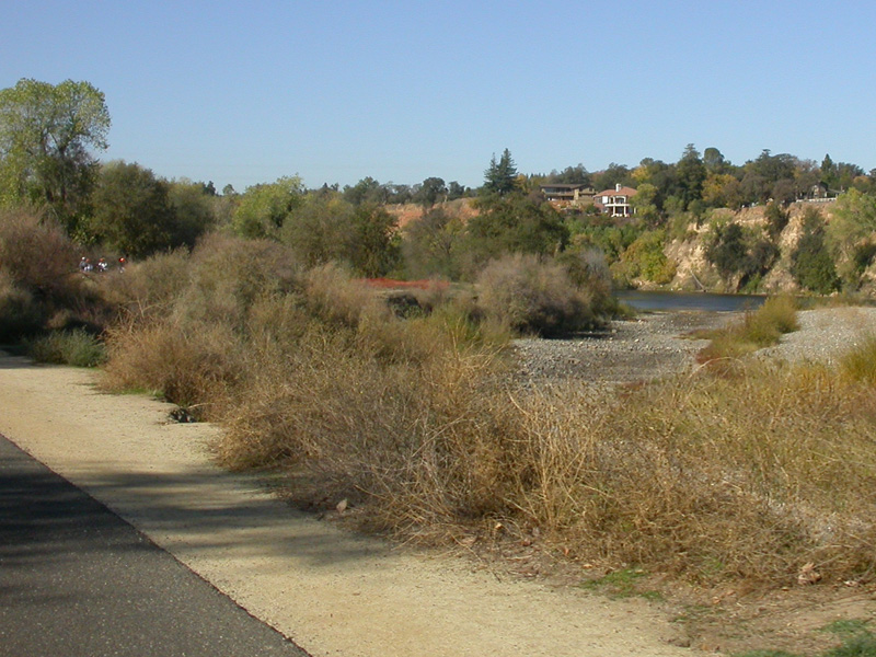
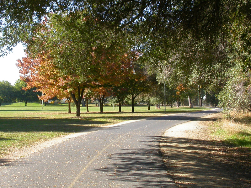
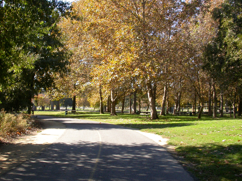
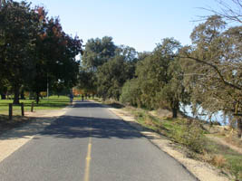
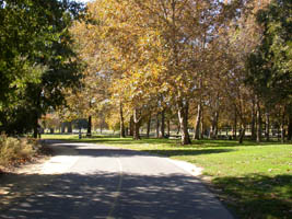
several beautiful parks dot the bike path along the
American River |
| |
|
|
 |
 |
 |
| |
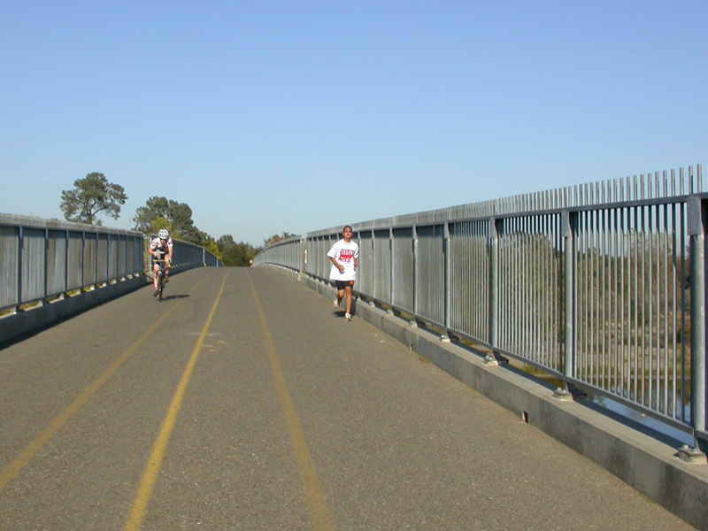
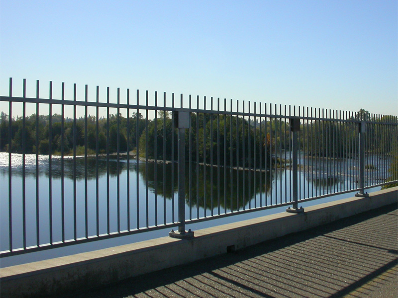
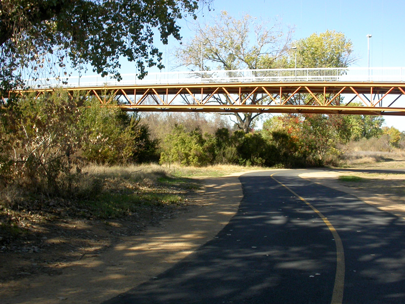
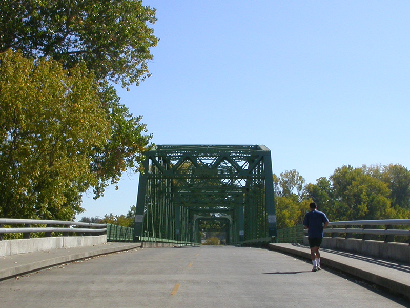
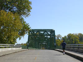
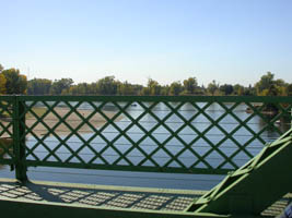
a long pedestrian & bike bridge crosses the American
River with spectacular views |
|
|
|
|
 |
 |
 |
| |
|
|
| |
|
|
 |
 |
 |
|
|
|
|
| |
|
|
 |
 |
 |
|
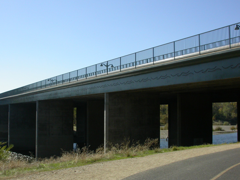
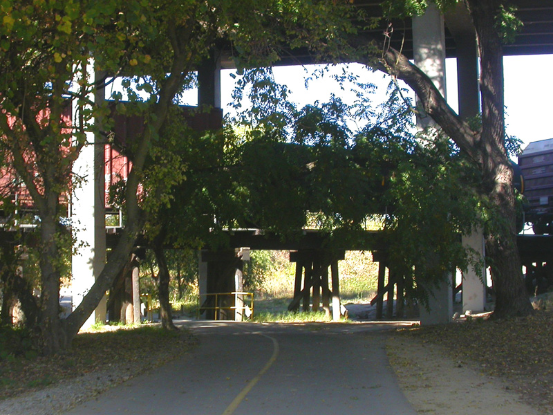
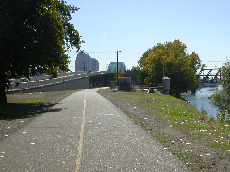
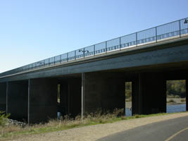
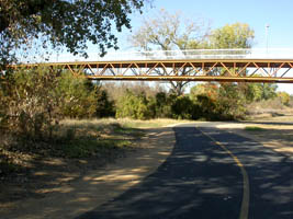
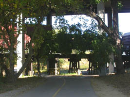
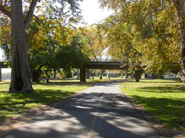
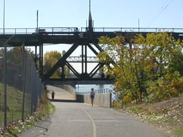
all forms of transportation crossing each other, bikes,
freeway bridges, and trains |
|
| |
|
|
 |
 |
 |
|
another one of the many beautiful parks |
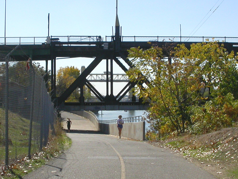
crossing
the American River heading towards downtown |
|
|
|
|
 |
 |
 |
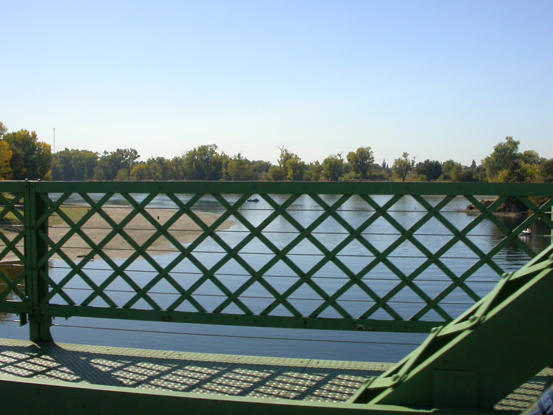
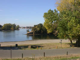
| American
River & Sacramento River |
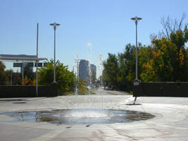
cool shot
through fountain |
|
| |
|
|
 |
 |
 |
| |
|
|
| |
|
|
 |
 |
 |
|
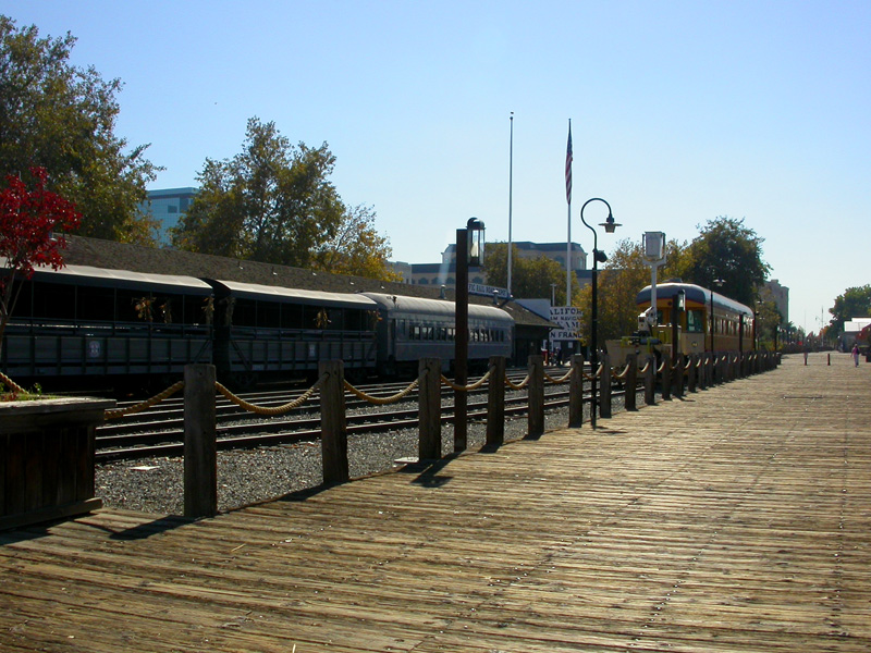
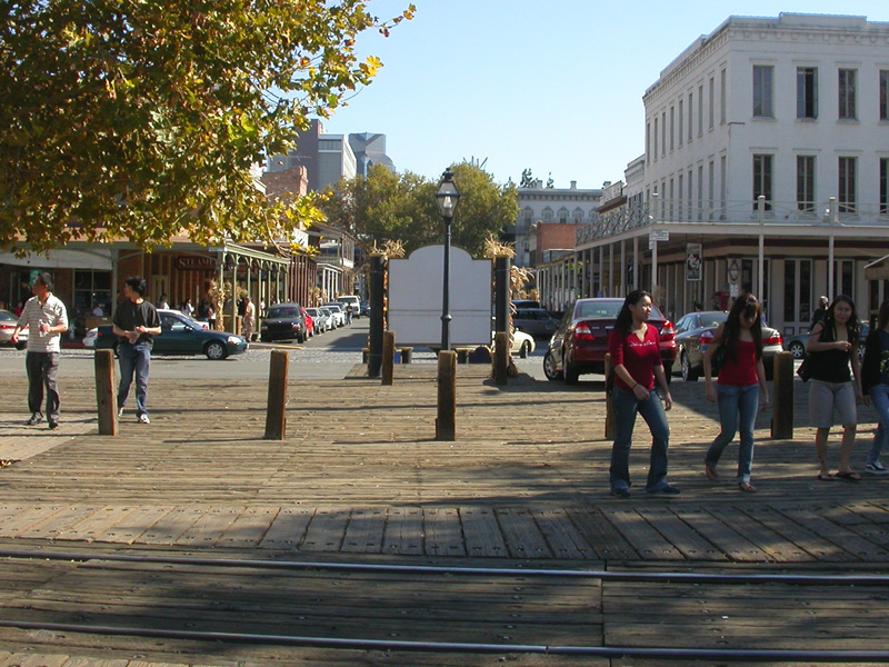
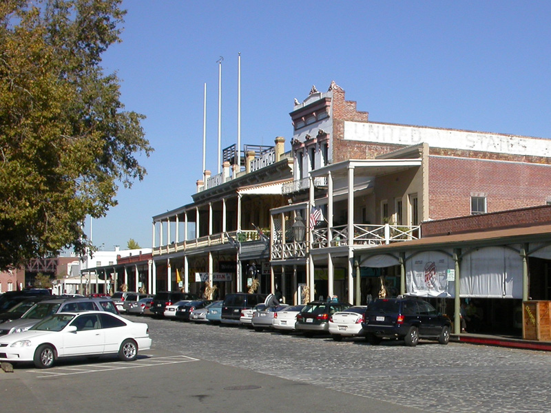
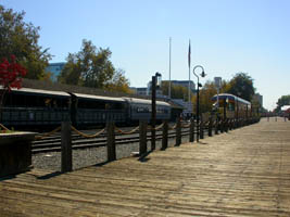
the trial ends near the Railroad Museum in the
beautifully restored part
of old downtown Sacramento |
| |
|
|
 |
|
|
|
|
| |
|
|

This is a very beautiful ride! The
quality of the path is fantastic. The
design itself is great too. The way the
road system is laid out, there are no major
roads that cross the bike path. As the
main roads approach the American River, they
rise up onto a bridge to cross the river.
The bike path is located under the bridges, next
to the river. The scenery is amazing as
well. Some of the time you are right next
to the river, other times you are riding through
beautiful parks. At other times you are in
the middle of wetlands or nature preserves.
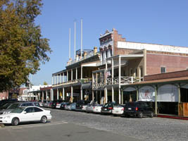
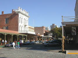
You can't beat this ride! At the end, you
can spend time in the very picturesque "Old
Sac." We had lunch in a little deli before
riding back to Folsom.
|
|